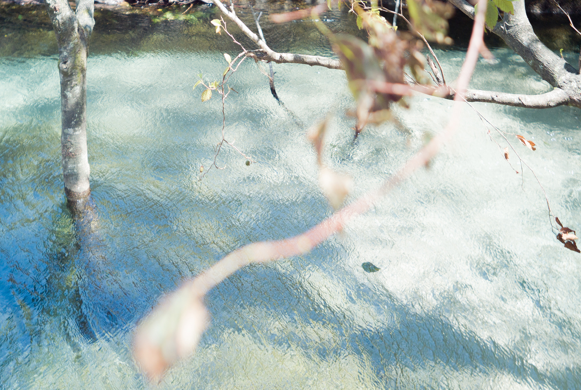
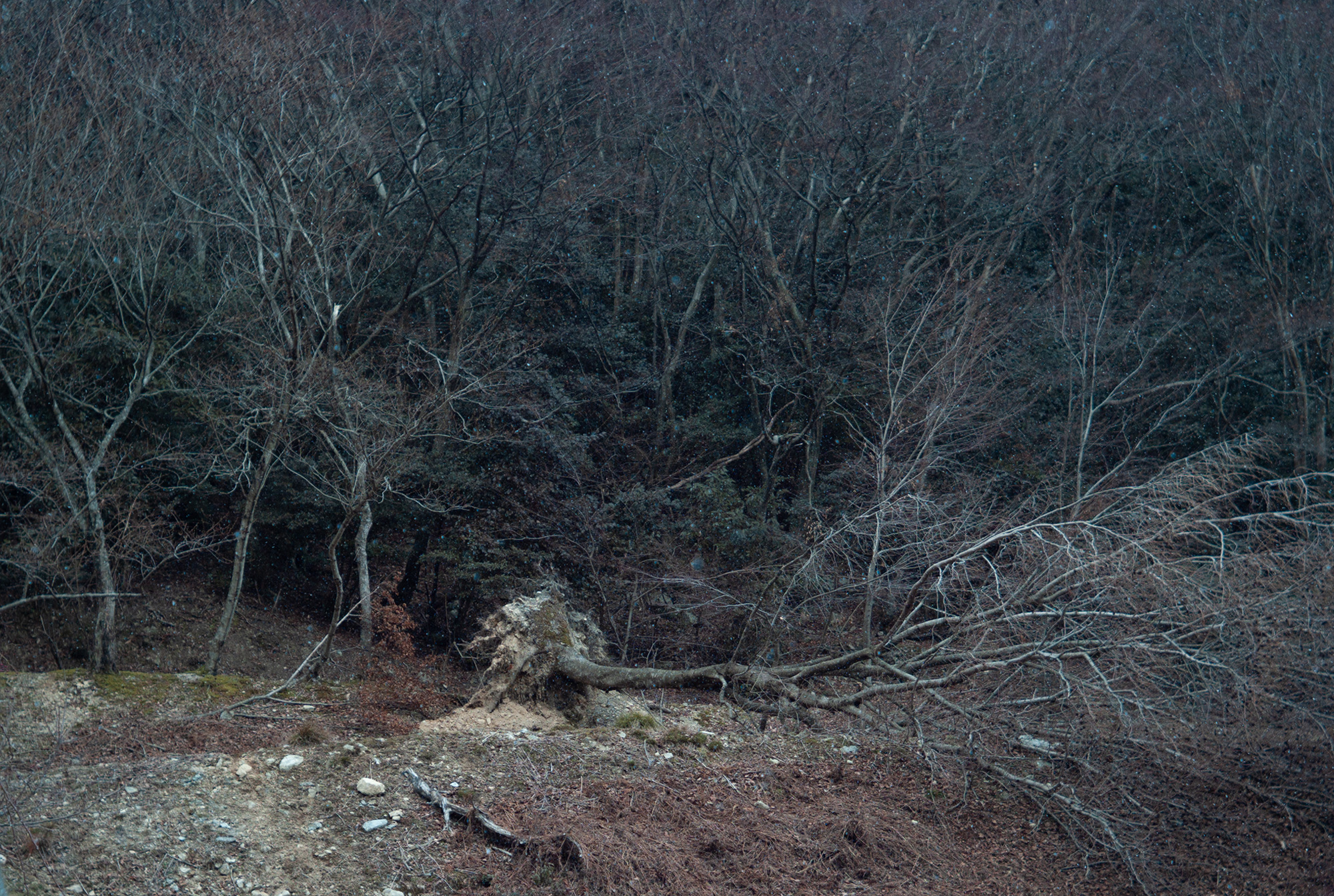
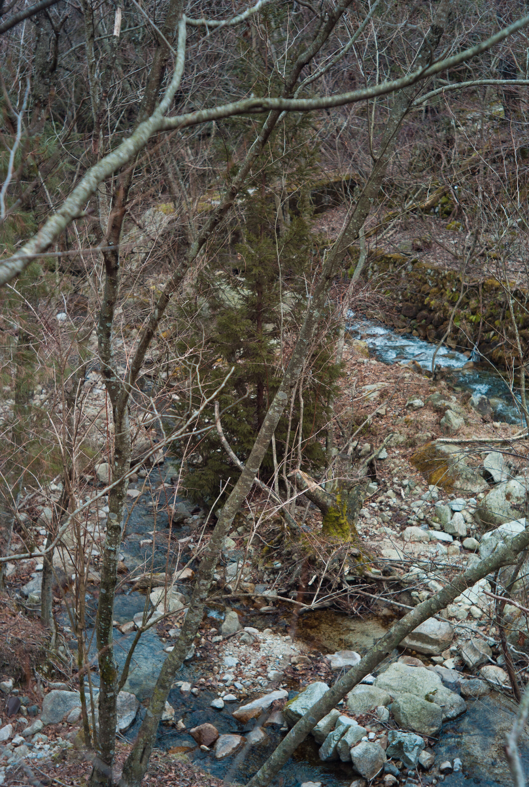
It was by chance that I arrived at that place. I had been driving along the coastal road of Lake Biwa—the largest lake in Japan, spanning 670 square kilometers—for over an hour, searching for a theme for my next project. To my right, the lake’s surface stretched on endlessly, except for the moments when pine forests obscured the view or the road curved, causing it to disappear and reappear. Unlike the sea, the lake’s surface was calm, with herons and seagulls constantly soaring above it.
However, I eventually grew tired of the unchanging scenery. Turning the steering wheel to the left, away from the lake, I decided to head toward the Hira mountain range instead.

The Hira mountain range stretches 20 kilometers north to south and 15 kilometers east to west along the western coast of Lake Biwa, forming one of the ranges that border the lake on its west side. Among its various peaks, the highest is Mount Bunagatake, standing at 1,214 meters. While not towering, the way the range rises abruptly from the shores of Lake Biwa gives it a certain grandeur.
The Hira range consists of two distinct ridgelines when observed closely. At its southernmost point lies Mount Hiei, a sacred peak of great historical significance. During the medieval period, many religious practitioners honed their disciplines here. Additionally, from the perspective of Kyoto, located to the southwest, Mount Hiei occupies the “kimon” (the northeast direction, traditionally considered unlucky). To protect against misfortune, Emperor Kanmu supported the founding of the Enryaku-ji Temple on this mountain by the Buddhist monk Saichō (Dengyō Daishi), making it a site of profound cultural and historical importance.


